Turks and Caicos Islands

Part of the wetland complex and Ramsar site in the Turks and Caicos Islands; Copyright: Dr Mike Pienkowski

We give information on the Turks and Caicos Islands in two main ways. Although there is some overlap, they are largely complementary. The virtual tour (opens in new window) uses a set of standard headings for each territory and, within these headings, presents what is essentially an illustrated slide-show, which can be viewed as a whole or by its sections. (If you have a slow internet connection, it may be easier to view the virtual tour.) The articles below are more variable in format and content, as indicated by the links.

The Islands

The Turks and Caicos Islands, or TCI, lie south-east of the Bahamas chain, 145 km north of Hispaniola (Haiti and the Dominican Republic) and 925 km south-east of Miami. About 500 km² of land is divided between 120 low islands and cays (pronounced “keys”) situated on shallow banks. The easterly occurring Turks Islands are separated from the Caicos Islands by a deep-water channel. The total area of the exclusive economic zone (EEZ) is 154,058 km².

Map of the Turks and Caicos Islands

Only six of the islands are permanently inhabited, with 31,458 (2012) permanent residents: Grand Turk (where the capital and administrative centre – officially Cockburn Town, but normally called Grand Turk – is situated); Salt Cay; South Caicos; Middle Caicos; North Caicos and Providenciales. The last (known as Provo) is where the majority of the tourism development is. There are a number of exclusive hotel developments and holiday homes also on smaller cays. Limited rainfall, plus poor soil and a limestone base, restrict the possibilities for agricultural development, although some small-scale farming takes place, especially on North Caicos. Most food is imported.

Mouchoir Bank is situated south east of Turks Bank. Together with southern Florida, the Bahamas and northern Cuba, they are part of a platform of rocks formed as limestone deposited in shallow seas as the crust slowly subsided. Virtually all rocks found in this area, to a depth of several thousand metres, are directly of marine origin, except some fossil soils and sand-dune rock (aeolian limestone). The region has always had a marine environment from the time of its formation until the present. The Turks and Caicos Islands are on two shallow banks (Turks Bank and the larger Caicos Bank), with deep ocean between them. The maximum altitude is about 50 m asl. There are further shallow banks (Mouchoir, Silver and Navidad) to the south-east but without islands; some of these banks are within TCI territory, with others claimed by the Dominican Republic.

The Islands themselves are limestone, and have many caves and sinkholes, created as rainwater percolated through the limestone and dissolved the rock. The freshwater lenses held by these caves historically provided the only source of fresh water on the islands. Although not as widely used today, households traditionally used rainwater capture systems. Reverse osmosis facilities, powered by by imported diesel, delivered by ships and trucks, now provide a substantial amount of water to residents on Providenciales and Grand Turk.

The climate is warm throughout the year but tempered by constant trade winds. The average annual temperature is 27˚C and the rainfall ranges from 21 inches in the eastern islands to 40 inches in the west. Hurricanes can occur from June to November (and occasionally outside this season).

Back to the top

History and Economy

The Turks and Caicos Islands were a centre of the Lucayan people. There is some evidence that TCI was Christopher Columbus’ first landfall in 1492. By 1520, it is reported that the indigenous Lucayan population had been eradicated, by slavery and disease, and the islands were left uninhabited. The Bermudians rediscovered the Islands and, by the 1670s, had started to collect salt from the naturally occurring salinas on Grand Turk, South Caicos and Salt Cay, and these three became the salt islands. The salt industry was very profitable, but labour intensive. The first African slaves were brought to the islands by the Bermudians to work the saltpans. Salt production eventually stopped in the 1960s. Salt mining had made it uneconomic, and the structure of the salt pans was destroyed by Hurricane Donna in 1960. The other Caicos Islands had a rather different history at this time. Remaining uninhabited, they became safe and secret bases for pirates of the Caribbean. In the 1780s and 1790s, after the American War of Independence, fleeing Loyalists were granted land in the Caicos Islands. The plantations were mainly for cotton, with some sugar production recorded from North Caicos. Three of the old plantation sites remain, at Cheshire Hall on Providenciales, Wades Green on North Caicos and Haulover on Middle Caicos. Pest infestations, a fall in the price of cotton and a hurricane in 1813 saw many plantation owners depart from the islands leaving forced-labourers behind – who learnt how to live off the land. Emancipation in 1834 marked the final end of the plantation era.

Surrounding the islands are 200 miles (320 km) of white beaches, one of which is often awarded the accolade of one of the best beaches in the world. As such, the tourism industry is one of the main economic activities. With TCI trading on its ‘Beautiful by Nature’ slogan, in 2016, 1,300,575 tourists visited the islands. Of these, 453,612 were ‘stop-overs’ and the remaining 846,963 were cruise passengers. Other economic activities include financial services and fishing (mostly lobster Panulirus argus and conch Strombus gigas for export to the US). South Caicos or ‘The Big South’ is known as the fishing capital of TCI.

The natural environment contributes significantly to the local economy and, in 2006, the role of the marine environment to the TCI economy was examined in an attempt to quantify this economic value. A study looked at coral reefs and calculated that those within the Princess Alexandra Land and Sea National Park (just one park of several) made a contribution to GDP of US$18m per year. This value was derived from activities such as: diving and water sports, and fisheries. In addition, coral reefs protected economic value (protecting property from the full force of hurricane damage, facilitating the build-up of white beaches, and protecting those beaches from storm-surge, etc.), a benefit valued at US$17m per year (Nautilus Consultants Ltd. 2006).

Back to the top

Habitats, conservation and protected areas

The Islands are a superb complex of natural coral reefs, tidal flats, mangroves and marshlands, which provide a haven for wildlife, as well as the natural basis of these fisheries and tourism industries.

The dry tropical forest ecosystem is one of the most threatened habitats in the world. This ecosystem has not been studied extensively, but supports many endemic species from invertebrates to reptiles.

The mosaics of habitats scattered across the islands function as ecological corridors. For example, East and Middle Caicos are believed to provide overwintering habitat for Kirtland’s warbler Setophaga kirtlandii and several other passerine species.

In the marine environment, coral reefs cover an area of approximately 1,200 km². A single barrier reef fringes the north coasts of the 6 islands of the Caicos Bank (West Caicos, Providenciales, North Caicos, Middle Caicos, East Caicos, South Caicos) whereas, shallow-water patch reefs are common around all of the islands and cays. Vast areas of seagrass beds occur in the Caicos Bank, important habitat for a variety of marine wildlife.

Extensive mangroves connect the seagrass and coral reefs, acting as nurseries for fish as well as providing many ecosystem services to the islands for example, protecting coastal areas from storm surges. The old salt-pans are internationally important for birds and also provide the service of holding water from tropical storms, reducing the flooding risk. Ann Pienkowski has produced a short introductory video about the birds of the salt-pans in the centre of Grand Turk:

Old windmill for pumping sea-water on the salt-pans at Salt Cay, before destruction by hurricanes in recent years; Copyright: Dr Mike Pienkowski

There is an extensive network of protected areas in TCI under local legislation. In total, there are 35 protected areas (71,714 ha); 5 are terrestrial and 28 are marine. They are managed by the Department of Environment and Coastal Resources. They include: 11 national parks; 11 nature reserves; 4 designated sanctuaries; 9 areas of historic interest.

In international terms, the Turks and Caicos Islands are entered on to the UK Government’s Tentative List of World Heritage Sites. TCI has one designated Wetland of International Importance, under the Ramsar Convention, with several others proposed.

The North, Middle and East Caicos wetland complex forms one of the best examples of its type in the Caribbean. It is also one of the most natural amongst the 175 Wetlands of International Importance listed under the Ramsar Convention by the UK Government.

A further 6 proposed Ramsar sites were identified during a UKOTCF study, commissioned by Defra and conducted jointly with TCI Government and NGOs in 2005. These six include the historically important salinas (salt-pans) at Grand Turk and Salt Cay, which are now internationally important for birds. They offer some of the best bird-watching in the world for normally shy wild water-birds, which here allow a close approach.

Back to the top

Key species

Plant species endemic to the TCI (some of which are Critcally Engangered – CR – or Endangered – EN) are:

  • the National Plant, Turks and Caicos heather Limonium bahamense (EN),
  • Caroline’s pink flower Stenandrium carolinae (CR)
  • Caicos Encyclia orchid Encyclia caicensis (EN)
  • Britton’s buttonbush Spermacoce brittonii
  • Capillary buttonbush Spermacoce capillaris (EN)
  • silvery silverbush Argythamnia argentea (EN) peppergrass Lepidium filicaule (EN)
  • North Caicos milkweed vine Metastelma stipitatum.

In addition, the plant subspecies Evolvulus bahamense arbuscula is potentially endemic to the TCI. A further 50 plant species are restricted to TCI, the Bahamas archipelago and Cuba.

Endemic vertebrate species include:

  • 13 invertebrate species or subspecies, e.g. Drury’s hairstreak butterfly Strymon acis leucosticha;
  • 9 reptile species, e.g. the Caicos barking gecko Aristelliger hechti and the Caicos pygmy boa Tropidophis greenwayi, the smallest boa in the world, which can fit on to the palm of your hand; and the rock iguana Cyclura carinata carinata.
  • There are two endemic bird subspecies, the thick-billed vireo Vireo crassirostris stalagmium, Greater Antillean bullfinch Loxigilla violacea ofella, as well as several bird species endemic to TCI and the Bahamas or TCI and Cuba.


The Islands are an important breeding, stopover or wintering area for at least 110 bird species. For example, the Turks and Caicos Banks smaller cays support over 100,000 breeding seabirds, and qualify as Important Bird Areas and Ramsar Sites. Most are Crown Land, and variously designated at different levels of protection. Big Sand Cay is a statutory sanctuary, and is particularly important for sooty tern Sterna fuscata. Despite its protected status, it is subject to disturbance, as resources are not available for enforcement in this remote area. At the request of TCI Government, UKOTCF produced an information leaflet about this Cay, explaining the interest and advising how to minimise the impact of any visit.

The Columbus Passage off-shore is a major migratory pathway for many pelagic species including humpback whales Megaptera novaeangliae, Bluefin tuna Thunnus thynnus, billfish, sharks, rays, etc

60 species of coral are found in TCI waters. Hard coral varieties include the critically endangered staghorn Acropora cervicornis, elkhorn Acropora palmata, pillar, star, and brain corals. Sea fans, sea whips, and sea plumes number among the soft coral varieties.

Back to the top

Outreach and our involvement

UKOTCF has been involved in projects in the TCI, for over 20 years. Some of these activities include: a Darwin-funded project to develop a management plan for the North, Middle and East Caicos Ramsar site; a series of strategy workshops and facilitations on how to Implement the Environment Charter; Wonderful Water education project which developed (in consultation with local teachers) curricula on wetland ecosystems, including mangroves and natural freshwater systems, and the wise use of water; and the Management of Protected Areas for Sustainable Economies project (MPASSE) – part funded by the EU, which aimed to provide the Turks and Caicos National Trust with funding to develop facilities for visitors at several sites: Little Water Cay, Wades Green and Cheshire Hall.

Turks & Caicos heather, the national plant found only in TCI.
Turks & Caicos heather, the national plant found only in TCI; Copyright: Dr Mike Pienkowski
UKOTCF-designed nature trail through the tropical dry woodland, Middle Caicos;
UKOTCF-designed nature trail through the tropical dry woodland, Middle Caicos; Copyright: Dr Mike Pienkowski

Working with its local partner, the Turks & Caicos National Museum, UKOTCF has developed interpreted walking and driving bird-watching trails for local residents and visitors to these important sites, available from the Museum on Grand Turk. Established in 1991, the Turks and Caicos National Museum is a not-for-profit organisation aimed at recording, interpreting, preserving, and celebrating the history of the Turks and Caicos Islands and its people.

The trails form part of the work underway to explore the potential for environmentally sustainable development, but further help is needed. The adoption of an eco-tourism approach would help to prevent the destruction of the natural habitat and safeguard biodiversity, cultural heritage and natural beauty of the Islands for the present and future. Earlier development of this type was undertaken by UKOTCF, with support from the Darwin Initiative and others, and in partnership with the TCI National Trust and the TCI Government. 

More recently, UKOTCF and the TC National Museum, in consultation with local conservation bodies and tourism interests, have produced 5 guide-books to the wildlife and other heritage of each of the main islands. These are available to buy in print (by mail) or download in our online shop.

Back to the top

Conservation challenges

On Providenciales, many of the wetlands have suffered severe environmental degradation, as a result of rapid development for real estate and tourism, although areas of value remain through the protected area and National Parks system. An even greater threat to the natural environment is posed by the proposals for large-scale developments on the uninhabited islands, currently prime habitats for endemic species such as rock iguana and the remaining breeding sites for turtles.

Threats to TCI’s natural environment include: rapid and poorly regulated built development, invasive species, deforestation and habitat loss and sea-level rise due to climate change.

It is commonplace for physical developments to fail to take account their potential impact on biodiversity. This has resulted in significant damage to fragile habitats. Although not mandatory, environment impact assessments are binding commitments in the Environment Charters; if done by qualified persons and conducted in a transparent way can be helpful to developers and actually save them money.

Proposals for large-scale developments on the uninhabited islands are a persistent threat, for example on East Caicos, part of the Ramsar Site and holding prime habitats for endemic species such as all 9 species of endemic plants, breeding sites for seabirds and turtles. So are developments which are unlikely to have real economic benefits and which would be detrimental to the environment and TCI’s reputation, e.g. a proposed dolphinarium on Grand Turk.

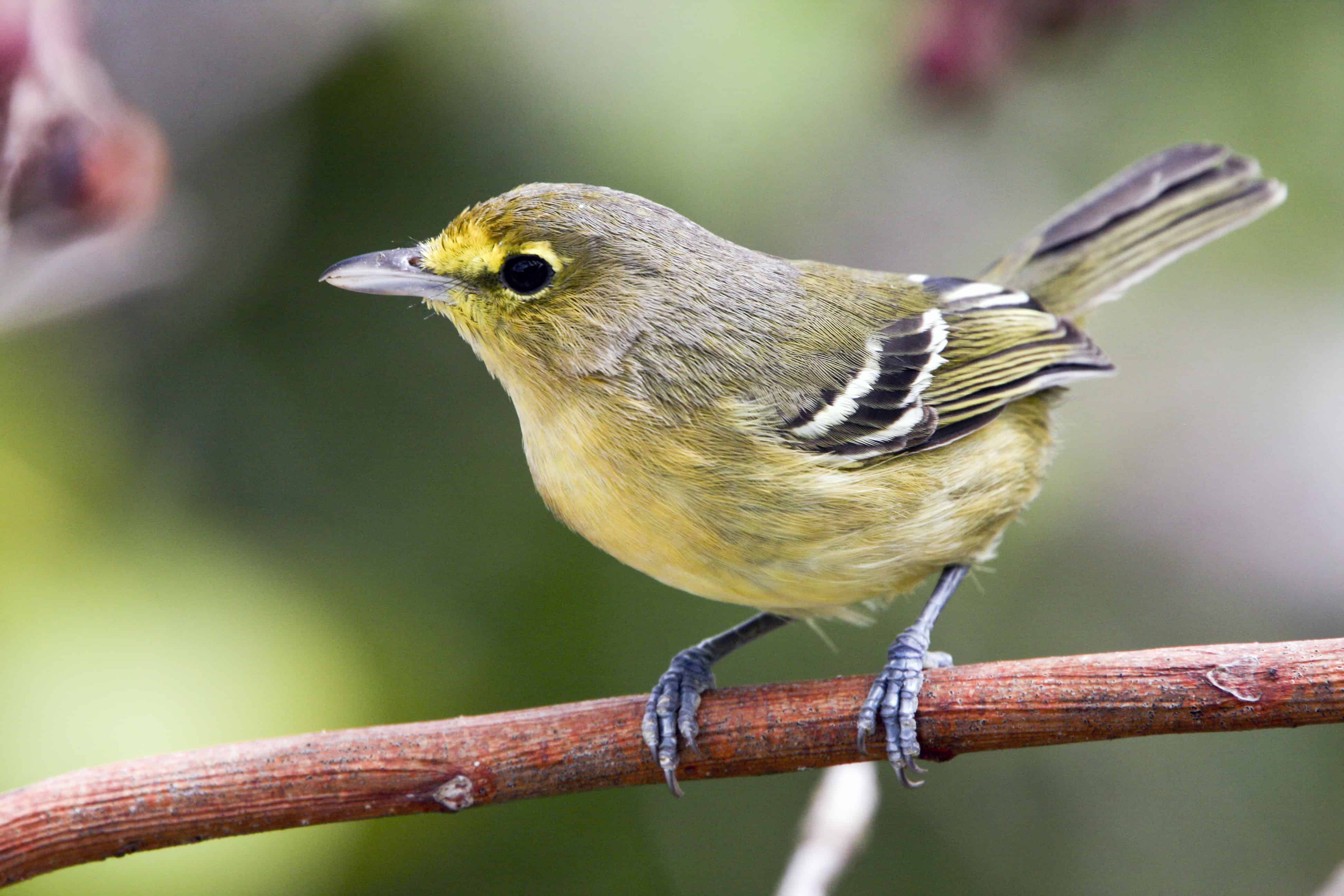
Invasive species are a major threat to the native fauna and flora of the island. Turks & Caicos Reef Fund (TCRF) is tackling the invasion of lionfish with sponsored tournaments. Other threats on land include the Casuarina or Australian pine, which sadly has spread over much of the islands where the ground has been disturbed, often on sites where the developments have not been finished. This species shades out native plants and poisons them by secretions from its roots.

Other introduced pests, such as the scale Toumeyella parvicornis, probably introduced by importation of Christmas trees from the US, have had a devastating impact on native flora. This problem was identified during UKOTCF-organised field-work in TCI.

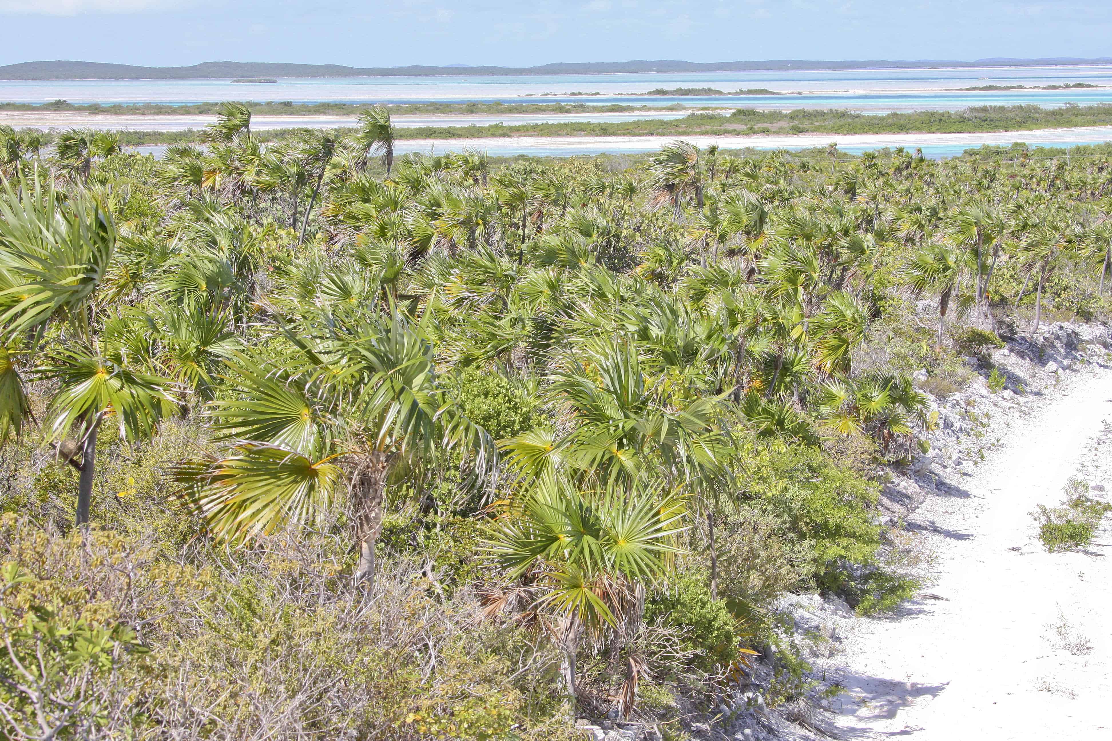
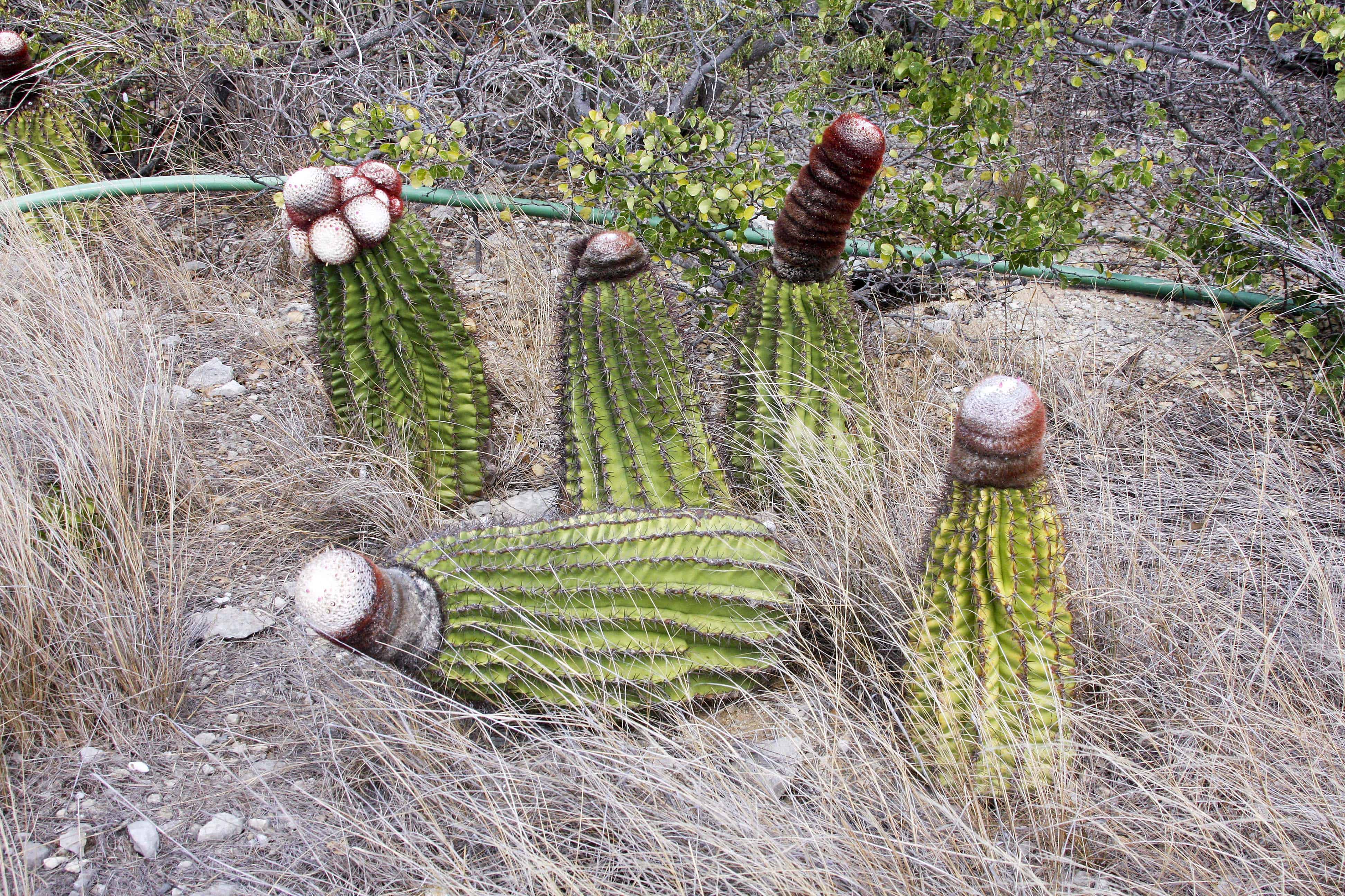
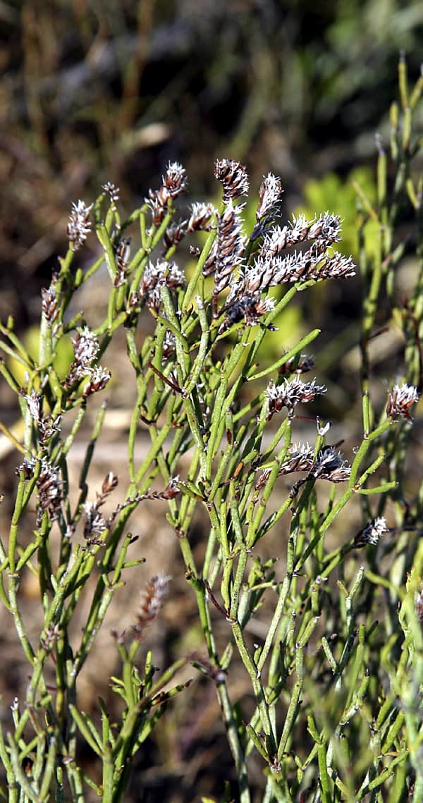
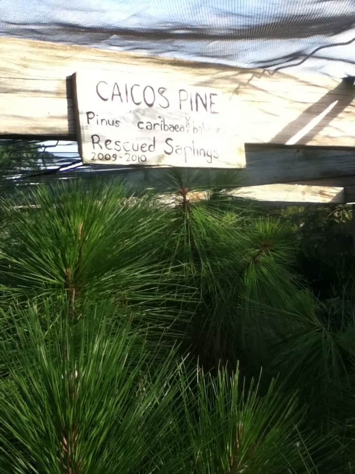
In particular, the Caicos pine (above), Pinus caribaea var. bahamensis, endemic to TCI and the Bahamas, has been heavily impacted. This species, which is the National Tree, occurs naturally in specific zones in Middle Caicos, North Caicos and Pine Cay. It is the dominant species of the pine forest ecosystem that covers about 13 km² in the TCI. The Caicos Pine Recovery Project (CPRP), a joint initiative between DECR and the Royal Botanic Gardens, Kew, aims to build capacity and awareness to save this national endemic and threatened tree.

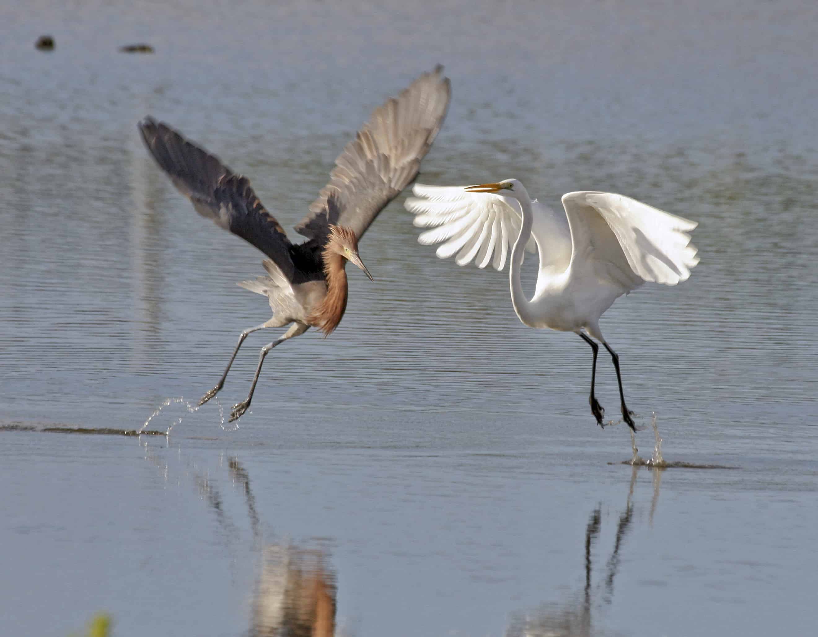
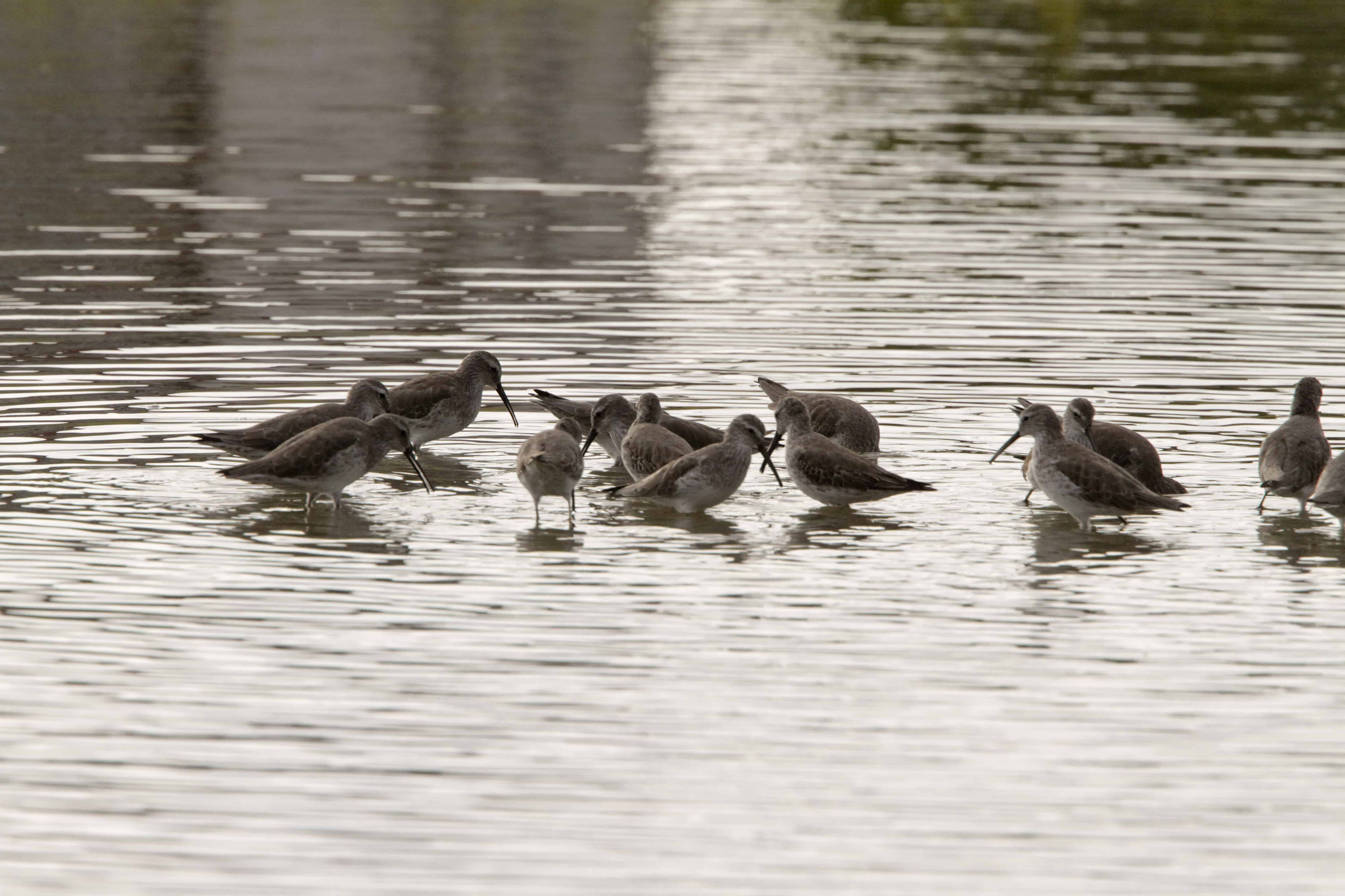
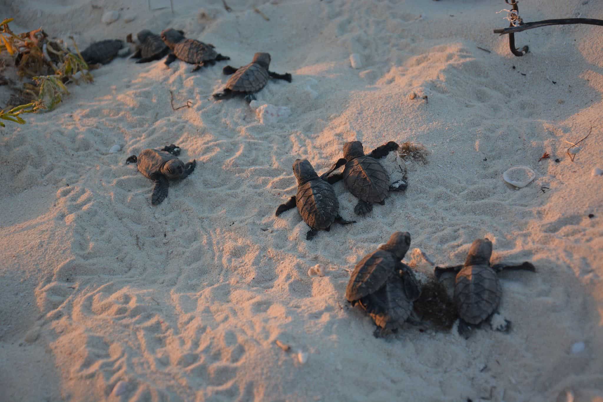
Decline of fish stocks (particularly spiny lobster and conch), as a result of habitat loss in the marine environment and overharvesting, will impact the livelihoods of the coastal communities in TCI. Furthermore, traditional fishing practices on the island include a legal directed and opportunistic turtle fishery that takes approximately 700 green and hawksbill turtles per year. The Marine Conservation Society has been working with local fishermen on TCI for over a decade to engage stakeholders fully in developing a durable turtle fishery management plan that includes appropriate measures for the Islanders’ traditional use of turtles and which facilitates protection of the larger size-classes and breeding adult turtles in TCI waters. This has resulted in legislation developed with stakeholder views considered. The ‘Size Matters’ campaign aimed to ensure minimum catch size to ensure juvenile sea-turtles are not caught. 

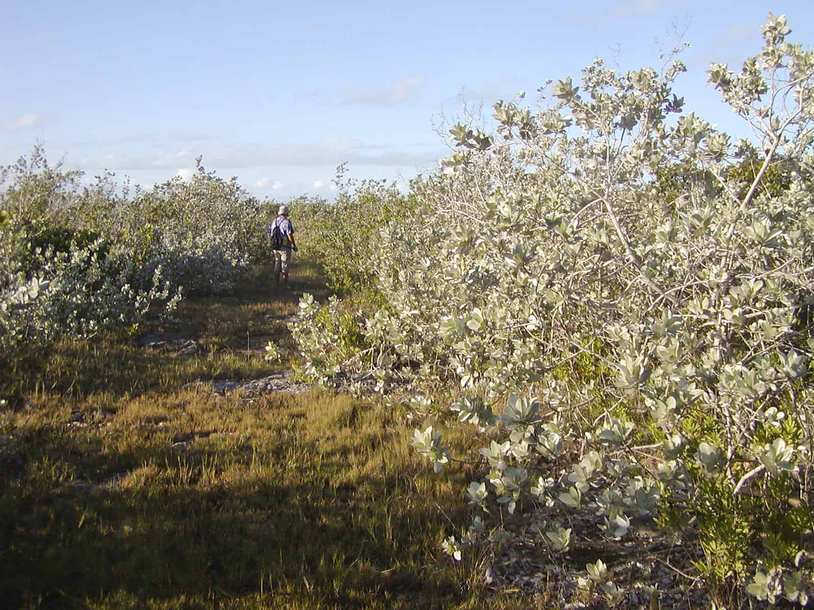
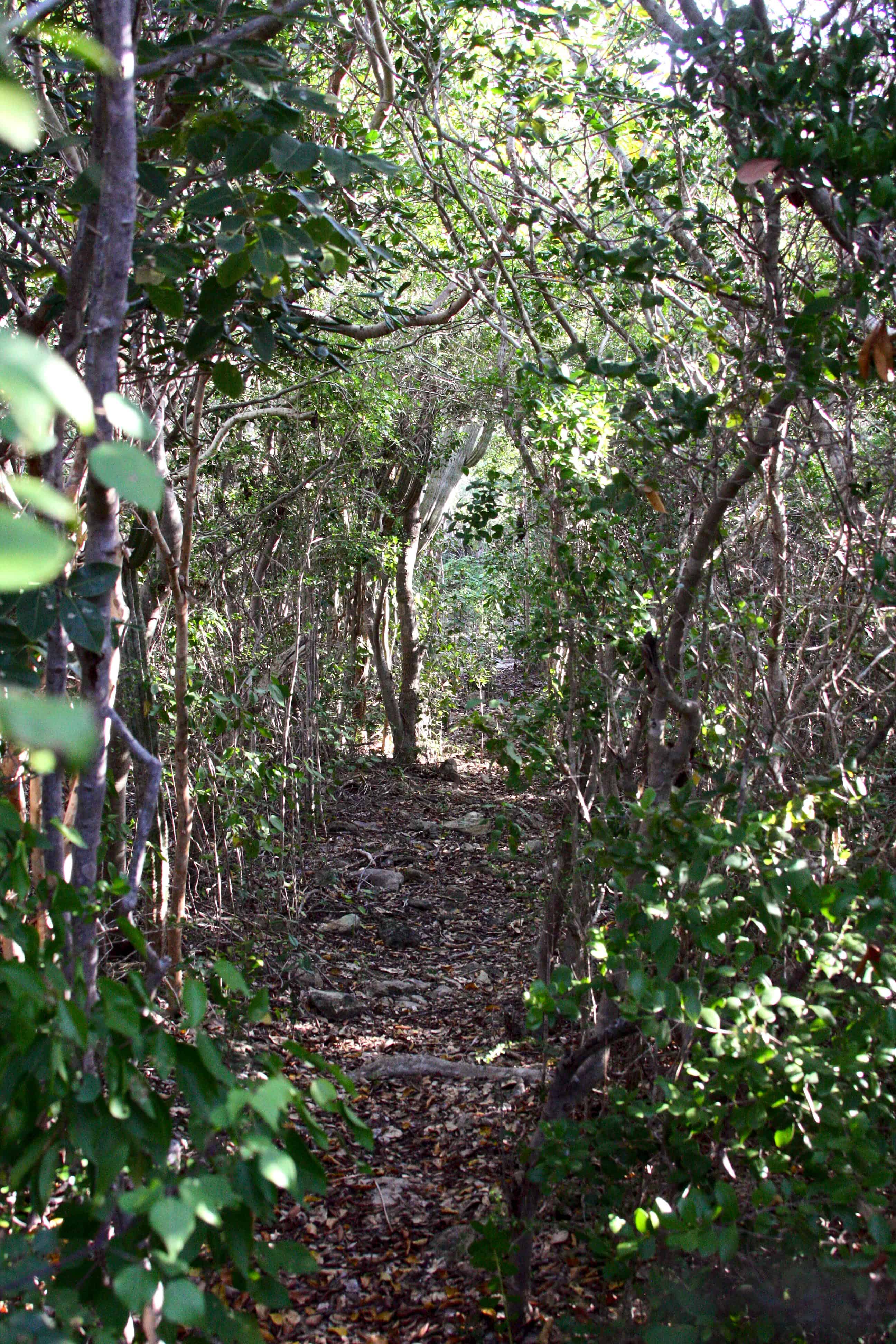
Deforestation of dry forests continues, mainly for charcoal production and building materials for extremely poor, but nevertheless illegal, immigrants from neighbouring Haiti.

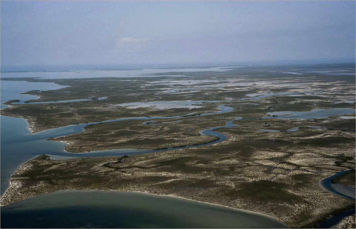
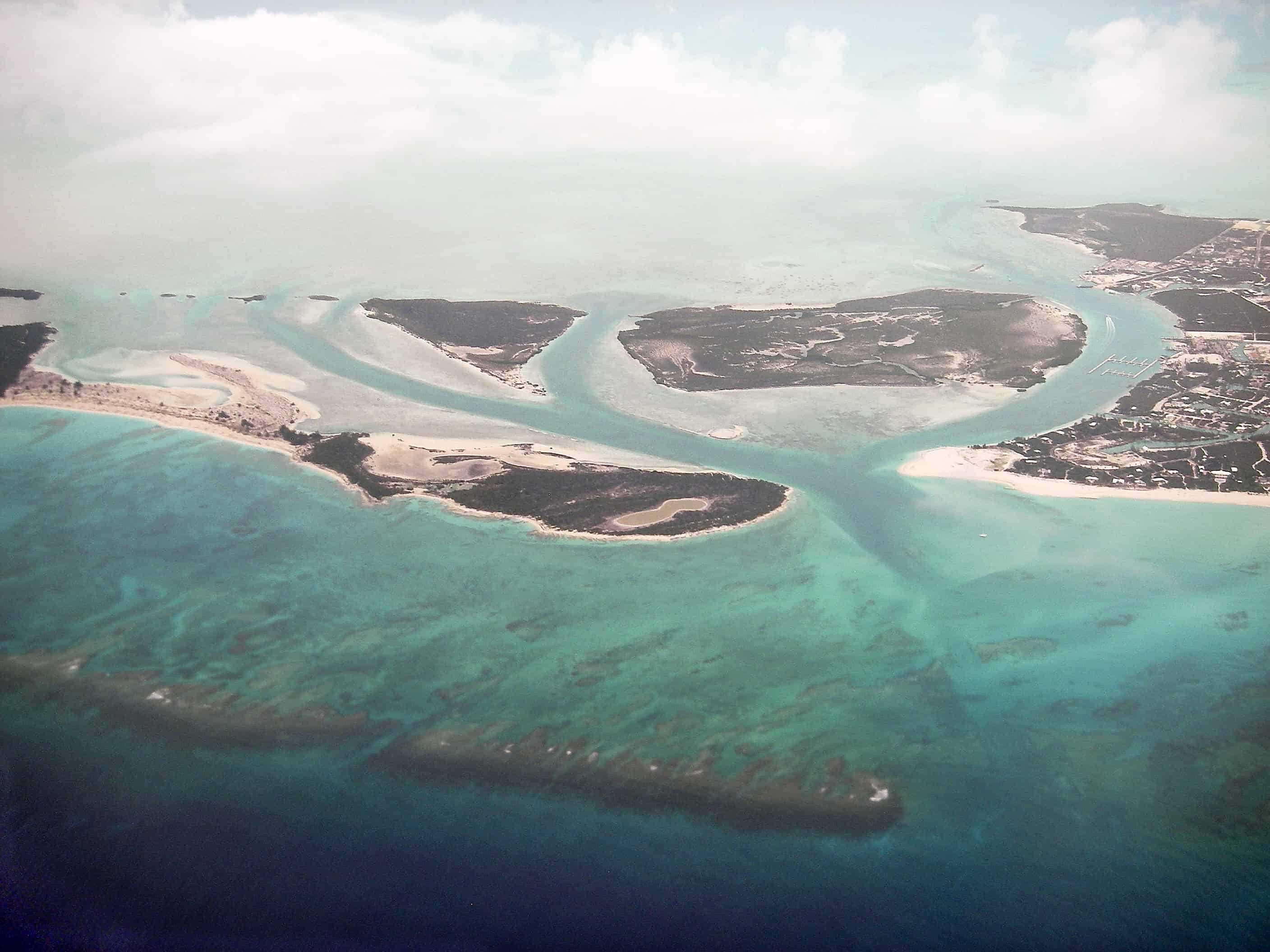
The high percentage of land lower than 50 m above sea-level means that TCI’s largely coastal community, as well as much of its wildlife, is extremely vulnerable to sea-level rise cause by climate change.

Back to the top

If you would like to support efforts to protect these species, please consider supporting us:

Support this vital work

Local organisations

There are several active non-governmental organisations in the islands.  Turks and Caicos Reef Fund, was established to help preserve and protect the marine environment of the Turks and Caicos Islands. A recent project includes: a €50,000 grant to study the coral reefs off the coast of East Caicos. It aims to address the current limitations of management and monitoring policy, and improve long-term conservation and sustainable use of biodiversity and ecosystem services within East Caicos’ coral reef ecosystems through the development of conservation zones and management and monitoring protocols. The selection of conservation zone classifications will be based on multi-criteria evaluation, which incorporates 16 ecosystem service and biodiversity values and quantitative and qualitative assessment, based on Global Coral Reef Monitoring Network (GCRMN) Caribbean methods. Conservation zone classifications and management and monitoring protocols will be agreed via workshops with DECR and local stakeholders. After project completion, TCRF, in conjunction with DECR, will establish regular monitoring protocols at two-year intervals. The project methods and results will be shared via multi-media and open-access online media.

Guinep House, the headquarters of the Turks & Caicos National Museum, Grand Turk; Copyright: Dr Mike Pienkowski

The Turks and Caicos National Museum brings together cultural heritage and natural heritage in their two museum sites on Grand Turk (the original site) and Providenciales. Their botanic garden at the Grand Turk site is much appreciated by residents, local schools, and cruise ship visitors.  The garden is irrigated solely by harvested rainwater and, as part of the Museum’s public awareness and education programme, it includes interpretation to highlight some of TCI’s most important flora. As part of the development of a new museum site in Providenciales, a new garden was designed and constructed. This utilised traditional rain-water capture and planting methods to reduce the need for fertilisers. This was a joint project between UKOTCF and the Museum, supported by the DECR, with funds from the Royal Bank of Canada’s Blue Water Programme.

Other local bodies include the Turks & Caicos National Trust, a membership–based voluntary organisation established to protect the natural historical and cultural heritage of the Islands.

A virtual tour for the Turks and Caicos Islands, outlining its historical and cultural importance is available here

Videos produced and directed by UKOTCF’s Ann Pienkowski are available to view here and on our Youtube channel

This short mini-documentary also provides a snap-shot overview on the Islands, presented by Stewart McPherson, and using some of Ann’s video, as part of the Britain’s Treasure Islands series

Bahama woodstar hummingbird (endemic to TCI and the Bahamas), feeding on nectar from the flower of a cactus. Copyright: Dr Mike Pienkowski