Anguilla

Road Bay, Anguilla; Copyright: Dr Mike Pienkowski

We give information about Anguilla in two main ways. Although there is some overlap, they are largely complementary. The virtual tour (opens in new window)  uses a set of standard headings for each territory and, within these headings, presents what is essentially an illustrated slide-show, which can be viewed as a whole or by its sections. (If you have a slow internet connection, it may be easier to view the virtual tour.) The articles below are more variable in format and content, as indicated by the links.

The Islands

Habitats, conservation and protected areas

Key Species

Challenges

Local organisations

The Islands

The territory of Anguilla is the most northerly country of the Leeward Islands in the eastern Caribbean (18.3oN, 63oW). Its name is derived from its eel-shape. Situated on a material substrate of coral limestone, the island’s total area is 91 km2, inclusive of several offshore islands and cays. The main island is sixteen miles (26km) long and a maximum of three miles (5km) wide. Among its islets are Dog Island, Prickly Pear, Seal Island, Scrub Island, Little Scrub Island, and Sandy Island, as well as Sombrero Island, located 65 km north-west of Anguilla’s main island on its own, long-separated bank

Map of Anguilla including Sombrero

The islands themselves are predominantly flat and covered with low scrub. Anguilla’s capital and administrative centre is The Valley. Its primary ports of entry are Wallblake Airport and Blowing Point Ferry Terminal. There is a short passenger ferry trip to St Martin, as well as freight ferries. The nearest neighbouring islands are St Martin (French)/Sint Maarten (Dutch) 5 miles (8km) to the south and the British Virgin Islands 25 miles (40km) to the west, separated by the Anegada Gap (166 km wide, 600 m deep). The islands’ shelves of Anguilla, St-Martin/St-Maarten and St-Barthélemy, to the south, constitute the Anguilla Bank (3400 km²).

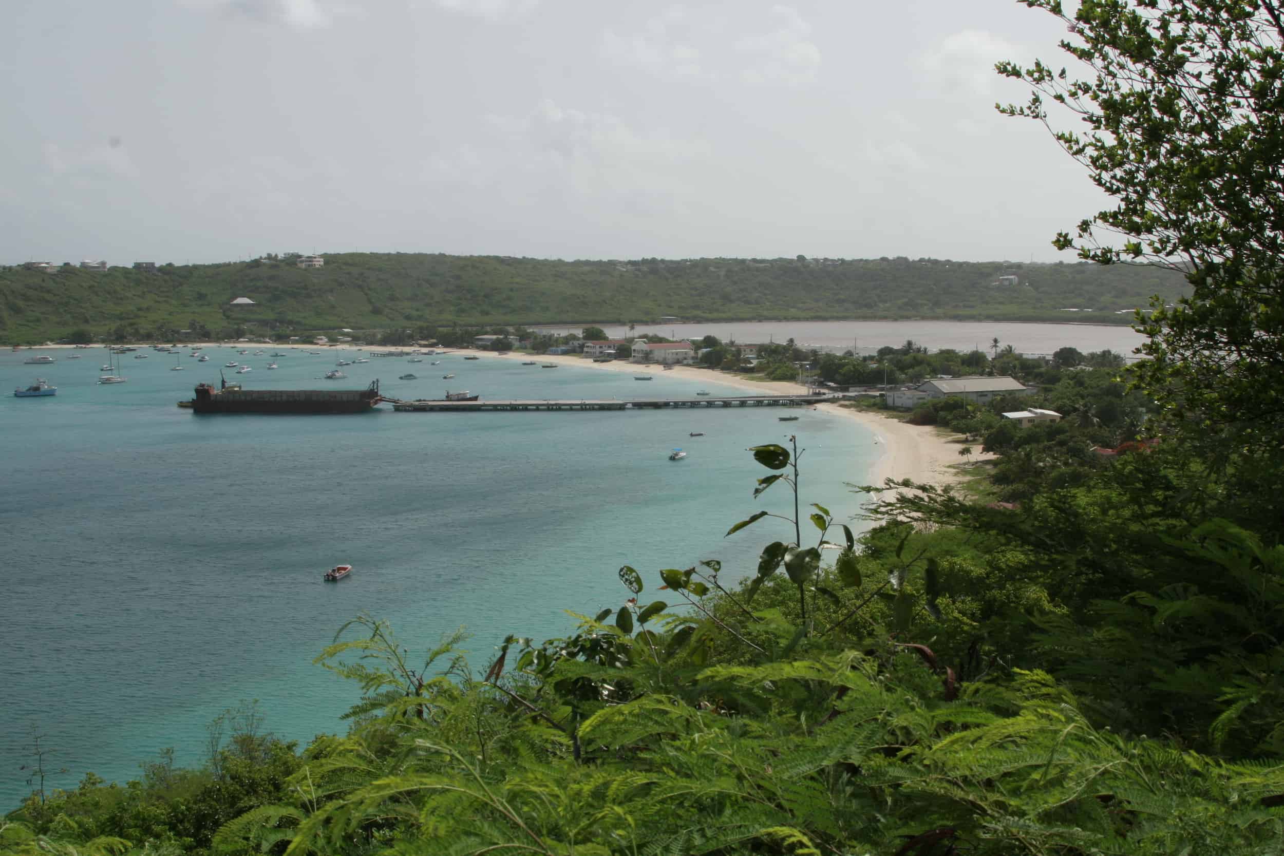
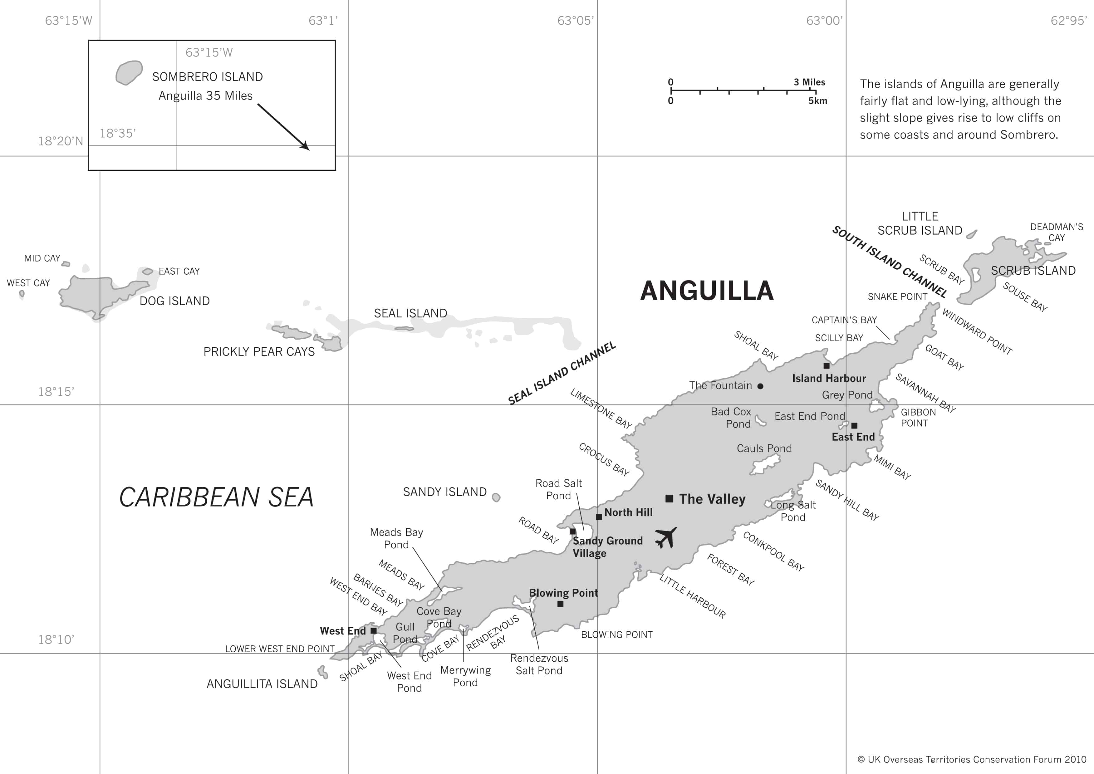
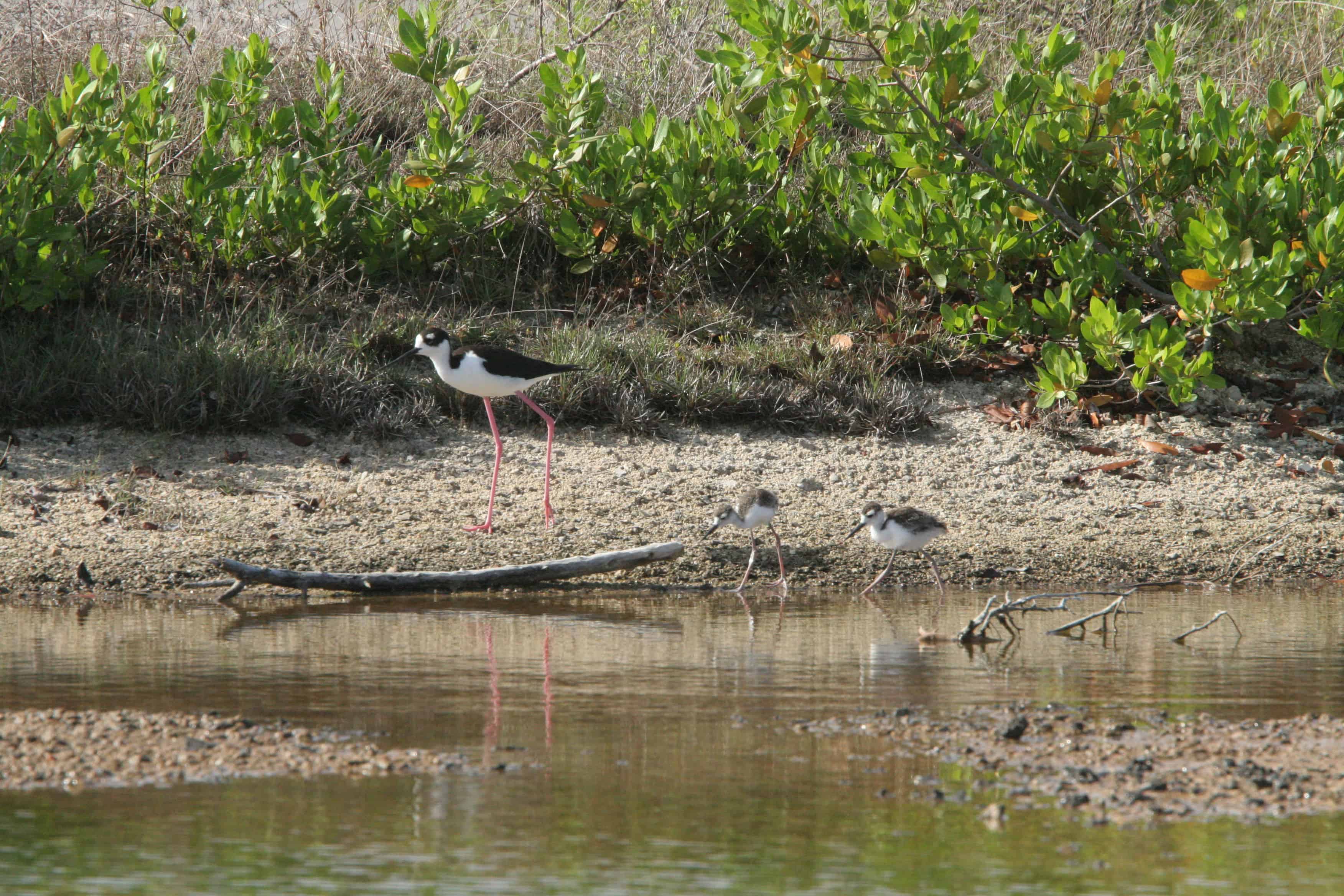
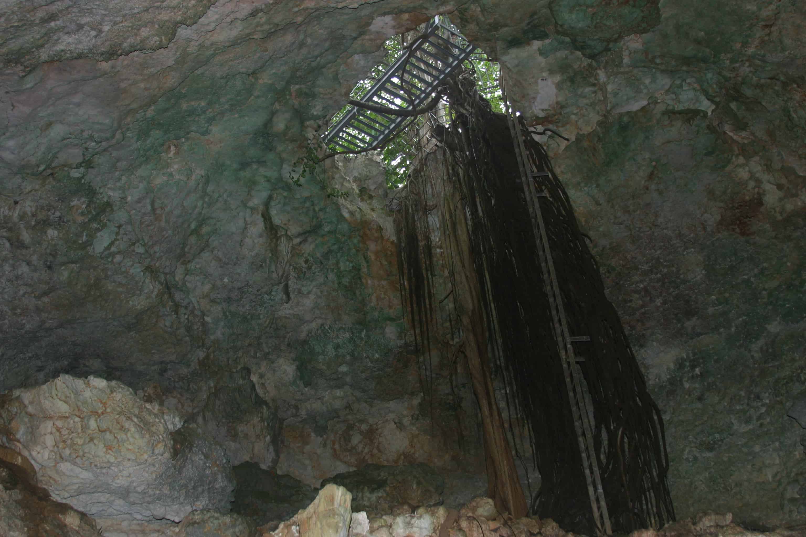
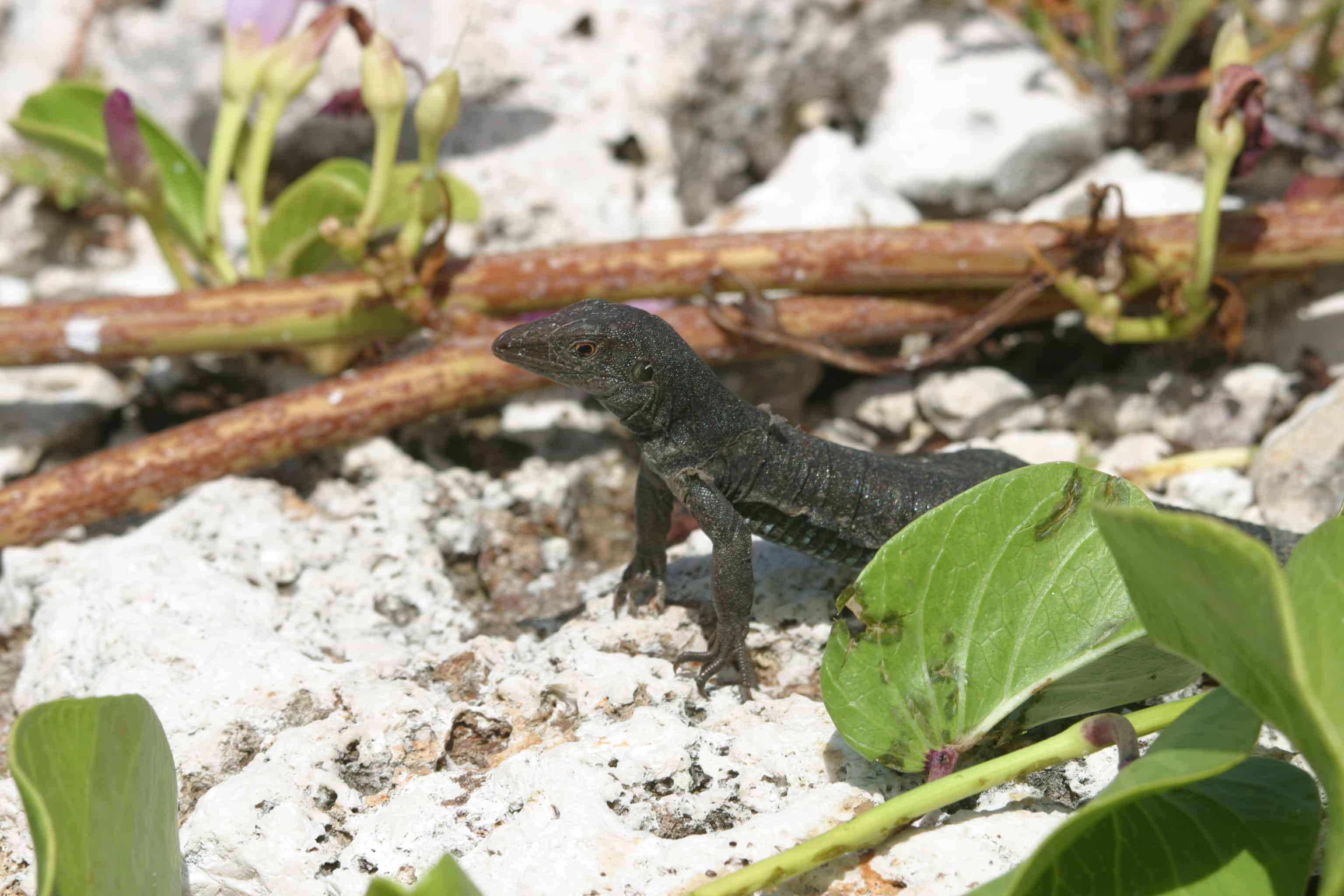
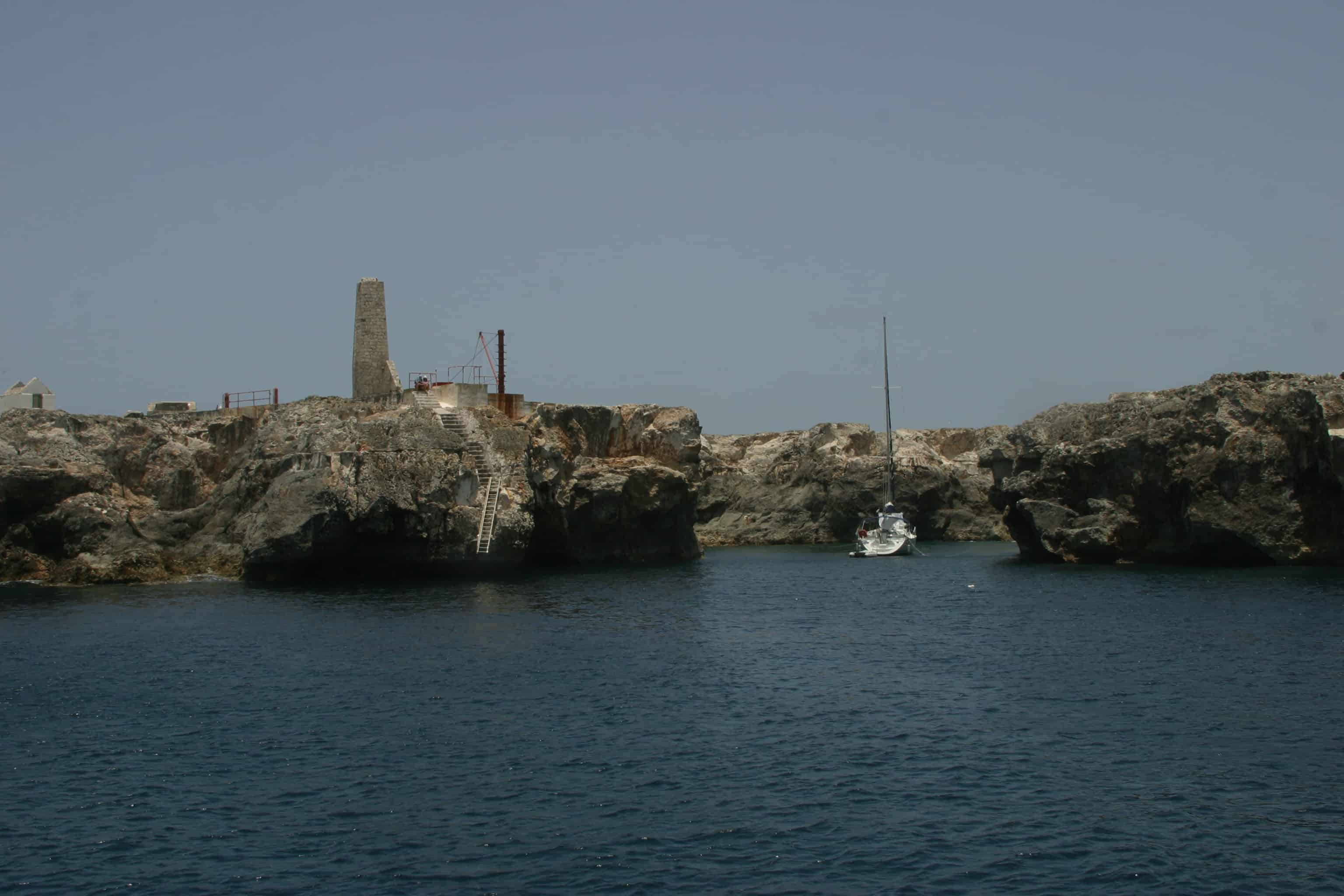
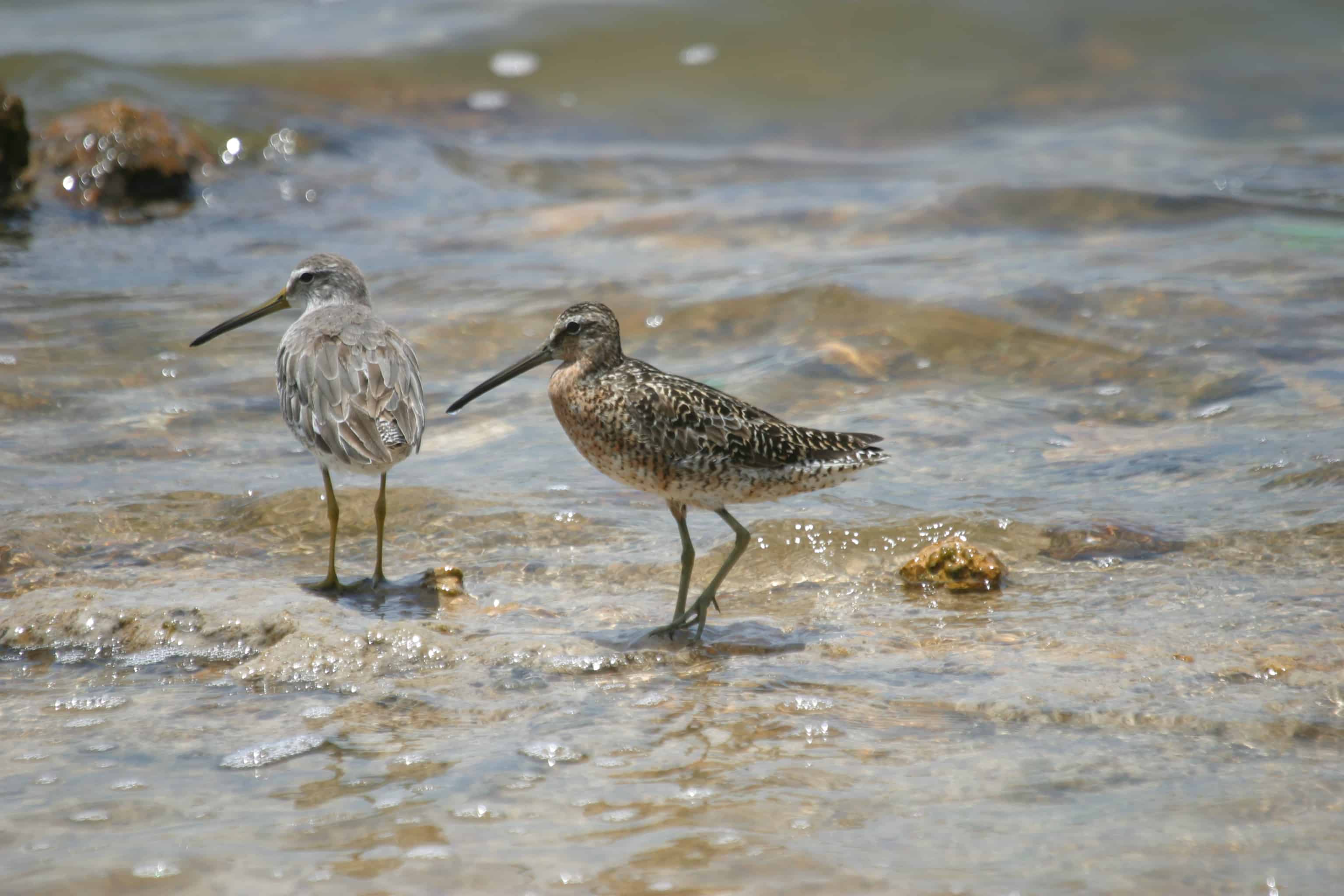
The main island is relatively flat and undulating, with its highest point at Crocus Hill (213 feet above sea level). Coastal cliffs are common on the northern side of the main island and flatter areas are found towards the south and southeast. Most of the islands are composed of hard crystalline limestone, hard and softer non-crystalline limestone, and clayey marls. These overlay volcanic rocks, which are exposed in a small part of the island at Pelican Point, Crocus Bay, Road Bay and Little Bay. Reddish brown patches of soil can be found in pockets of the limestone rock in several areas across the island.

It has a tropical climate, which varies little throughout the year, with a maximum of approximately 31oC during the summer period from May to October, and an average minimum of 23oC in the slightly cooler period from December to March. Rainfall averages around 1,000mm (40 inches) per year. February and March are usually the driest months, with about 45mm (1.8in) per month on average, while in the rest of the year the rains are quite irregular. Normally, the rainy season lasts from August to November, with moderate rainfall, between 100 and 130mm (4 and 5in) per month. During some years, precipitation may peak again in April and May. The rains fall usually in the form of downpour or thunderstorm. More rarely, there can be heavy and prolonged rains when tropical depressions and hurricanes develop above and throughout the islands; this happens, with increasing frequency – in Anguilla, as in other Caribbean islands – from June to November (but especially from August to October). 

Anguilla is home to 14,764 inhabitants (2016 estimate). Tourism and off-shore finance are the major contributors to the island’s economy.

It is an internally self-governing UK Overseas Territory with a ministerial system of government. The 1982 Constitution (amended in 1990) provides for a Governor, an Executive Council and a House of Assembly. The Governor, appointed by HM The Queen, has reserved powers in respect of legislation, and is responsible for external affairs, offshore finance, defence and internal security (including the police force). For non-reserved matters, the Governor follows the advice of locally elected ministers.

Back to the top

Habitats, conservation and protected areas

Of significant ecological importance are Anguilla’s wetlands. These wetlands form myriad overlapping habitats for various bird species, which include endangered roseate terns, least terns and red-billed tropic-birds, a species of special concern. During hurricanes and periods of heavy rains, the ponds act as flood control areas. Approximately 80% of all Caribbean breeding bird populations depend on wetlands at some point in their lives and almost all Caribbean commercial fish and shellfish species depend – through nutrient cycling, natural water procession and shelter for some young stages – on wetlands. Without this habitat, they would not be able to survive. Anguilla’s wetlands are also extremely important conservation areas. There are over 130 species of birds reported in Anguilla – at least half of which are dependent upon wetland habitats – and nearly 25% of these species are considered to be threatened either regionally or globally.

As nurseries for marine fish, coastal wetlands are extremely productive ecosystems. Trapping carbon and fixing substantial amounts of nitrogen annually, this process converts nitrogen into compounds such as ammonia that can then be used by plants. This forms the basis for wetland and marine food webs, which include decomposing organic matter, plants, crustaceans, worms, fish, birds, and many other organisms. At least 400 species of juvenile fish are known to find shelter, protection, and food in these ecosystems. Thus, these coastal wetlands provide an additional function as nursery grounds for marine fisheries.

Protected areas include: the East End Pond Conservation Area (13 acres) managed by the Anguilla National Trust (ANT). Several other sites have been donated to the ANT to manage including two heritage sites that are protected: Fountain Cavern (approx. 4.86 ha, with approx. 0.5 ha vested to and managed by the ANT), and Big Spring.

The Fountain Cavern, a large dome-shaped limestone cavern on the main island, contains example of Amerindian cultural heritage, including petroglyphs left behind by local inhabitants who were thought to have utilised the site for worship, around AD 400-1200. It was first recognized as a highly significant Pre-Columbian archaeological site in 1979. The Government of Anguilla designated the site and surrounding area as a National Park in 1985. It was proposed as a World Heritage Site, and was on UK’s official Tentative List for some years.

Key species

Anguilla and its offshore cays are home to several species of birds and reptiles; many are endemic to the territory or to the region.

There are: 

  • 321 native species of plants; the endemic Anguilla bush Rondelitia anguillensisis, is concentrated mainly on the northern and eastern side of the main island.
  • 130 species of birds 
  • 21 species of reptiles
  • Two endemic lizards (the black lizard Ameiva corvina found on Sombrero Island, and Ameiva corax found on Little Scrub Island).
  • Many of the white sandy beaches of Anguilla and its islets are important nesting sites for hawksbill Eretmochelys imbricata, leatherback Dermochelys coriacea and green turtles Chelonia mydas, and some inshore waters for foraging.

The islets of Dog Island, Scrub and Prickly Pear are privately owned. Many of them are important habitat sites for a number of species, particularly seabirds. Given this importance, conservation and management of these sites is the subject of several projects involving international partners (such as Flora and Fauna International, the RSPB and several UK Universities including the University of Liverpool).

Dog Island is one of the most important seabird islands in the Caribbean in terms of number of breeding species, with 10 breeding seabird species, including over 135,000 pairs of sooty terns Onychoprion fuscatus. This site is globally important for populations of brown boobies Sula dactylatra and red-billed tropicbirds Phaethon aethereus and regionally important for magnificent frigatebirds Fregata magnificens, masked boobies Sula dactylatra, laughing gulls Leucophaeus atricilla, and sooty terns Onychoprion fuscatus. In 2012, Dog Island was subject of a rodent eradication operation to protect these colonies from predation.

Sombrero is noted for the endemic Sombrero black lizard Ameiva corvine, a widespread and easily seen species on the island. The dwarf gecko Sphaerodactylus sp. may be endemic also, and has been tentatively named Sombrero dwarf gecko. The tree lizard Anolis gingivinusis is also found on the island. Invertebrate surveys have found a number of endemic invertebrates present, including a new species of bee. The surrounding waters are feeding areas for sea-turtles.

The island was formerly mined for phosphate, leaving the surface pitted with craters up to 10 metres deep. A few stark buildings from the phosphate industry remain alongside those from Sombrero’s long-time use as a lighthouse station. Until recently, the island was permanently inhabited by a small number of lighthouse staff who were transported by schooner across from mainland Anguilla. An unmanned lighthouse was installed in 2002, limiting visitors to the occasional fisherman and biologists engaged in fieldwork, as well as illegal poachers of lizards.

In recognition that it supports internationally important numbers of masked booby, brown booby, bridled tern and brown noddy, and following the work by ANT to gain further knowledge about the site, the Government of Anguilla  approved in 2015 the designation of Sombrero Island as the territory’s first Ramsar Site. Work by UKOTCF, in conjunction with local partners, had identified in 2006 this and also a number of other sites across Anguilla as proposed Wetlands of International Importance under the Ramsar Convention. Sombrero was finally designated in May 2018, and progress to designation of other Anguilla Wetlands of International Importance is awaited.

Back to the top

Challenges

A number of invasive species have had a negative impact on Anguilla’s biodiversity. The Cuban tree frog Osteopilus septentriionalis and the giant African snail Achatina fulica have been particularly destructive and are thought to have been introduced by the importation of containers containing exotic plants and/or building materials to supply the development of accommodation. In the marine environment, and in common with its neighbours, the lionfish Pterois volitans is having an impact on marine life; this alien from the Pacific was introduced by humans and has spread destruction across the Caribbean in only a few years. In addition, rising sea temperatures and the increasing frequency and intensity of hurricanes have already contributed to a degradation in the health of coral reefs and coastal mangrove vegetation.

However, central to the threats facing native ecosystems and biodiversity in Anguilla is the growing pressure from physical development, which has impacted the island’s terrestrial and marine ecosystems.

Dry scrub and mangroves have been particularly vulnerable to habitat fragmentation and loss. Research done by the Department of Fisheries and Marine Resources indicates that Anguilla’s near-shore reefs (less than 10 metres of water) are now threatened; they are endangered and may even become extinct by 2050. The reefs of Anguilla are threatened also by over-fishing and coastal development. Pollution is also a growing concern.

As a consequence of the climate destabilising effect of global warming, sea-level is expected to rise. This will have a devastating impact on the low-lying coastal areas, which define Anguilla (and several other UKOTs). In 2017, Anguilla was devastated by Hurricane Irma, during of the most intense hurricane season on record, which has shown how vulnerable the small island can be to disasters from natural processes set in motion and intensified by human actions.

Back to the top

Local organisations

The Anguilla National Trust is charged with ensuring that the natural resources of the island are protected, as well as the preservation of the historical and cultural heritage of the island. The Anguilla National Trust, through its conservation programme, is collaborating with its regional and international partners, with the major goal of developing a system of parks and protected areas.

The Department of Fisheries and Marine Resources (DFMR) manages the Marine Parks network, originally established in 1991 on an ad hoc basis. It comprises seven zones: Dog Island; Sandy Island; Sombrero Island; Prickly Pear Cays and Seal Island Reefs; Junks Hole; Little Bay; Shoal Bay and Island Harbour Reefs. Little Bay and Sandy Island Marine Parks have extensive seagrass beds. The Marine Parks were designed mainly to protect coral reefs, except the zone of Junks Hole that has more recreational outcomes. The Marine Park Act was established in 1991, and Marine Parks have been legally demarcated in 2007. The DFMR has developed an adaptive Management Plan for Anguilla’s Marine Park System and Associated Shallow Water Habitats and Fisheries in order to manage the marine park system. 

A virtual tour for Anguilla, outlining its natural, historical and cultural importance is currently under development and will shortly be available here.

In 2015, UKOTCF, together with many partner organisations in the UKOTs, helped Stewart McPherson with his project Britain’s Treasure Islands. As part of this, we helped to fund a series of mini documentaries on the premise that they would be open source so that everyone could enjoy them. Anguilla mini-documentary: